24 June – Arica
 |
| A welcome rose from Miriam! |
Arrived late last night (after a long delay in Santiago – our 3PM flight got pushed back to 8, which meant we didn’t arrived until almost 11PM in Arica). We met Miriam at the airport - Mario’s former classmate and now a high administrator in the Education Department for this northern district. She’d set up some homestays for us, so Stacey and I went to Pamela’s house – we got dropped off by Miriam and her husband, after squishing in the back seat of their car with Mario and Victor.
Pamela is so nice – she set us up in a spare room with two twin beds, but she had to go to work the next morning and planned to come by at 10 to drop us off at the square. Her 82 year old father was here, and he chatted with us in the morning (even though he only understands a tiny bit of English and I could barely keep up with his Spanish). But it was fun practicing and talking to him – such a friendly guy!
 |
| Catedral San Marco |
 |
| Mario Made Here |
We met up with Gayle, Mario and Victor at the Catedral San Marco, where Mario had been baptized. It’s a beautiful white and deep red church that, when it was built, supposedly had a metal frame that was held together with only one screw. Saw the actual font where Mario was baptized!

From there, we walked up El Morro, the gigantic rock in the middle of Arica that overlooks the ocean. There are a few stops – the virgin statue near the base, a resting point with a view of downtown Arica in the middle, and a few overlooks at the top.
 |
| The slog up the hill |
There was a battle between Peru and Chile that took place on the top of the rock - June 7, 1880 - and Chile won by tricking the Peruvians by leaving one man to light fires in the plain below to make the Peruvians think the army was still far behind. There are several monuments and a museum at the top (but, being Monday, the museum was closed).
 |
| Arica, from the top of El Morro |
 |
| The view of Scorpion Island, with El Gringo on the left |
We did see the view out to the Pacific, with Peru on the horizon to the north. Just below the Morro is El Alaclan - Scorpion Island, that used to be an actual island but is now connected with a small manmade jetty. It has some of the most famous surfing in the world – we saw El Gringo, the famous wave that only the best surfers try.


 |
| The dig site on Scorpion Island |
Hiked back down to the waterfront, and had a nice lunch at a seaside café (including a huge glass of fresh guyaba juice), then walked out to Scorpion Island to try to see some of the archaeological excavations going on (but it was closed off and there was nobody working). Supposedly they found more mummies out there, which meant the ancient people at that time had to have found a way to get out there to entomb them.
We then squished into a cab for a short ride to the main cab stand in order to go out to the Chinchorro Museum in San Miguel de Azapa – unfortunately Gayle left her phone in the cab and lost it as well as all her credit cards and driver’s license. Hopefully we’ll be able to get it back!!
 |
| The Chinchorro Mummies - oldest in the world! |
We split up to take cabs out about half an hour to the Museum – it’s in the Valley outside of town. Went through to learn a bit about the native people of the Altiplano region, and about the mummies.
The oldest anthropogenically (man) made mummies date back to around 5000 BC, which make them older than Egyptian mummies (which date to around 3000BC). They’ve also found some naturally mummified bodies in the Atacama that date back to 7000BC. They’ve found about 300 of them, and of those, about half are actually naturally mummified because of the extremely dry climate. The other half were purposefully mummified, to honor the dead and keep them as part of the community. Because of this, they’ve even found mummies of small children and fetuses.
 |
| mmmmmm.... fresh bread.....! |
We returned to the taxi stand in Arica and walked back towards downtown. Along the way, we saw a bakery/paneceria and had to stop for a snack. We tried a few different sweet breads, then they came out with some fresh rolls so of course we all had to try one of those. Delicious, and so fresh!
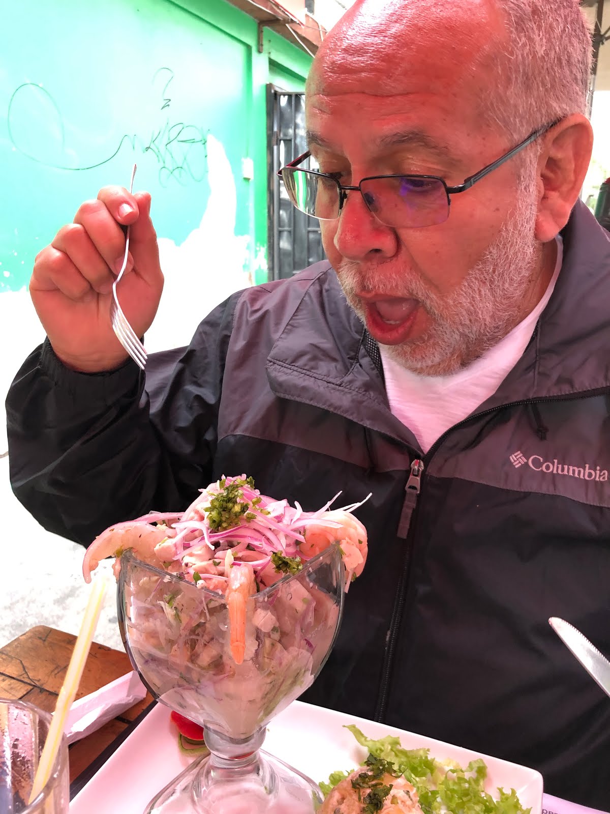
We walked down to the pedestrian street and ended up going to a McDonalds for their free wifi. Gayle was able to cancel all her credit cards, and we hung out until it was time to meet Miriam for dinner. The Copa Americana soccer tournament is going on, and Chile and Uruguay were playing so we found an outdoor courtyard to watch the game. There were four different restaurants that served there, and in turn each restaurant presented their menus and the waitstaff described their offerings.
 |
| Mario, entombed in menus |
By the end there was a gigantic stack of menus on the table and we were all completely overwhelmed!! We ended up just going with the first offering, a mixed fried appetizer platter, and huge drinks for everyone. I had another gigantic juice, this one a passionfruit, which was SO good.
Tomorrow we’re spending the day in the high desert so we have a VERY early start, so it’s to bed now!
25 June – Arica
Phew, survived the day!! We left this morning at 6:40 to wait for our taxi, who ended up not coming until around 6:55 (to take us to the Cathedral San Marco for a 7AM pickup). Luckily the tour was a little late as well, so we met Gayle, Mario, and Victor on the Cathedral steps and loaded up for our ride to the Altiplano. After picking up two more people (a couple from Santiago on a birthday trip for the wife), we headed East out of Arica, up the Lluta Valley.
 |
Sea level to 14,500 feet, in 5 hours. I wouldn't recommend it...
BUT IT WAS TOTALLY AWESOME!! |
 |
| ... but upon closer inspection, geoglyphs looked down on us! |
 |
In the Lluta Valley... didn't see
anything at first... |
Our first stop, about 13 km from Arica, was to see the giant geoglyphs on the side of the road. Up on the side of the hill you can make out figures of what look like men, llamas, and dogs.
The Lluta Valley is one of several parallel valleys created by the foothills of the Andes Mountain Range running down into Chile. Lluta is special because it is the northernmost, and it has a river that is always flowing (unlike most of the other valleys, which have seasonal rivers. Because the Lluta has plenty of water, it has consistent farming and helps provide all the food for the area.
 |
| A strange species of candelabra cactus... |
 |
| mmm... coca tea... |
After a brief stop to stock up on water (and a purchase of an ear muff), we headed up to the Altiplano. Because of the drastic change in altitude, we were warned about altitude sickness – don’t eat too much, drink plenty of water, and try the coca tea. We weren’t having breakfast until a few hours later, in Zapahuira (at an elevation of 11,500 feet). The road was fairly smooth getting there, with an increasingly desolate landscape of rocks and dirt and very little vegetation. Just before entering the province of Parinacota, we stopped to see some Chandelier cactus – which only grows in this region in a very narrow altitude band. They were almost extinct because people used to cut them down to dry and make into rainsticks.
 |
Aymara women,
at breakfast in Zapahuira |
We stopped for breakfast in Zapahuira, a small town (which actually just looked like 3 buildings). Had a jam sandwich and coca tea, which was actually fairly light and reminded me a bit of chamomile or other herbal tea.
 |
| The overlook to Putre |
The landscape actually started getting more and more interesting – there were different wildflowers as we went up, and interesting patches of bright green mosses. At an overlook down into Putre (the capital of this area), we could see the volcano across the Bolivian border as well as the old irrigation system carved into the hills.
 |
| Pack o' llamas |
 |
| Vicuñas |
It grew nincreasingly colder, windier, and icier... and then we saw our first herd of llamas! They were grazing on the side of a hill – and you can tell they are domesticated because of the colored tags on their ears. Soon after, we saw wild vicuña, and then herds of alpacas. In size, llamas are the largest with the largest ears (and are usually white in this area), then alpacas which have shorter legs and are brown, black, grey, or white; and the smallest are vicuña, which have thin legs and necks and are always tan and white.
By then, we’d reached an altitude of ~13,000 meters. Continuing on the drive towards Lake Chungará, we passed a marshy area surrounded by rocks – the driver slowed and said to keep a look out for vizcacha.
 |
| Where's Waldo?? Spot the vizcacha! (there are at least 2...!) |

What the heck was a vizcacha?! It’s small, was the reply. We had no idea what type of animal we were looking for – a mouse? a small horse? a dog?

It’s like a rabbit, he told us. And very soon after, we saw movement in the rocks – there they were! There were quite a few running around the far rocks, and a few close to the road. They were very similar to chinchillas, with larger ears. And they came in different colors – from a slight grey, to a tan, to an orange-yellow. They sit soaking up the sun with lazy, closed eyes.
 |
| Next game: Spot the ñandú! |

We kept driving – saw a faraway lake with a flock of flamingos, but we didn’t stop since we were told we’d see more at Lake Chungará. Suddenly, a few of us saw what looked like an ostrich – the driver didn’t slow or seem to notice, so I asked what the giant bird was. He was surprised that we saw it, and backed up so we could take pictures of the ñandú – a bird I had no idea existed but looks a lot like an emu.
The ñandú (also known as a suri, or a greater rhea) is rarely seen (since there aren’t very many of them and they blend into the landscape), but Stacey, Victor, and I all spotted it.
Continuing East, we started to see the three volcanoes that border Bolivia. Volcan Pomerape, Volcan Parinacota, and Volcan Acotango are all in the landscape around Lago Chungará, which is the highest point on our journey. The two volcanoes to the north, Pomerape and Parinacota, are known as Payachatas in the Aymara language – meaning the twins.
We finally reached Chungara at 14,800 feet, and we definitely felt woozy and lightheaded -it was hard to walk very far. We all took a few puffs of oxygen, but I’m not sure it helped at all (but I was also not sure there was any oxygen left in the tank since the other passenger was really sick – he actually threw up – and sucked up most of the tank). At the lake, we saw one solitary flamingo along with other shore birds and a pack of llamas.
 |
| Lake Chungará |
 |
| Cooookkieeeesss!! |
It was really cold and windy, so we didn’t stay too long before heading back down to the town of Putre (11,500 feet) for lunch. As we were loading onto the van, a hungry alpaca came by begging for cookies - Stacey fed him one, and when she ran out, he spit on her!
 |
| The church in Putre |
I was still feeling queasy so I didn’t eat much of the quiñoa soup and alpaca meat, but I had a few bites of each (and they were good, but I felt too sick to eat it). But I did want to taste the alpaca - it tastes a bit like lean beef - not bad. After lunch we walked around the square in Putre and I definitely started feeling better. So I guess my limit is about 12,000 feet!
We got back in to Arica and before going home I stopped to get some soup (since I hadn’t eaten dinner) – they tried to give me my to-go beef consummé in a styrofoam sandwich container (which ended up being chicken noodle soup), so I ate it quickly at the restaurant. Went back to Pamela’s and, since we were exhausted, were in bed by 10pm.
26 June – Arica
Woke up this morning at 8 to take a shower – and surprisingly, met Maximo, Pamela’s son. We didn’t even know he was in the house!! He decided not to go to school today, so he was sitting in his mom’s room watching videos.
Good thing too, because at 9 when we left the house we realized we were locked in. And the door to the house was locked, so we were essentially sandwiched between two locked doors. Ended up going out through the garage since Maximo didn’t have a key to the front gate.
 |
| The Agro Market |
Took cab to the Agro Market across town to buy fruits and veggies. First stopped at a little café for breakfast – we all had sopapillas, which were essentially fry bread – so fresh and delicious! We ate it with pebre, the Chilean version of salsa – so good!!
Then we walked around the market – all the fresh fruits and vegetables, and olives. We bought guayaba - guava (three kinds – green, yellow, and pink), mangoes, pepinos (described as cucumbers but more like watery melons to me), maracuyá -passion fruit, and cactus pears.
 |
| Acetunas - YUM! |
We also got two kinds of olives (green and unsalted black), some bread, and more queso chanco. Mario also showed us a coca menthol rub that we all bought – which is supposed to get rid of aches and pains (it smells like ben gay but Mario says they may take it away during customs!)

From Agro Market, we took the bus down to the beach. We stopped to see El Gringo as well as the Inferno – the place where the water crashes against the rocks, but it was a fairly calm seas today. We went to El Laucho beach and had our lunch, then dipped our toes in the water (it was too cold to actually go in though!) Still, it was the perfect weather for the beach.
 |
| Photobombing 101: I taught him well! |
 |
2 teacher programs, 4 continents,
12 years, and a million laughs...
all with my good pal Mario! |
 |
| In the Colon 10 Museum |
 |
| The Chinchorro Mummies |
Walked back up through town to Colon 10, where the original Chinchorro Mummies were found and are still lying in situ. It was in an old abandoned house that was being remodeled, but when they started construction they found the first body. They stopped working to figure out what was going on and when the dates came back, they realized they had found something special. After more digging they found several more bodies and decided to turn the house into a museum. It's interesting because they covered the burial area with glass and you can actually walk on top of the mummies.
From Colon 10, we walked back through town to the car rental agency. We were trying to figure out how to get to Iquique on our own, so that we could stop along the way for sightseeing. But it turns out a one way car rental is really expensive (they charge an extra 100,000 pesos for the one way dropoff) so we walked down to the bus station to see if we could either find a large taxi, or see the bus prices.
We couldn’t find a taxi so our options were either a bus or the rental of an expensive truck, but we got the idea to hire someone to drive us (or hire someone to drive the car back to Arica). So Miriam went to work with her network to try to find someone.
 |
with Gayle, Victor, Miram,
Pamela's student, Pamela, and Stacey |
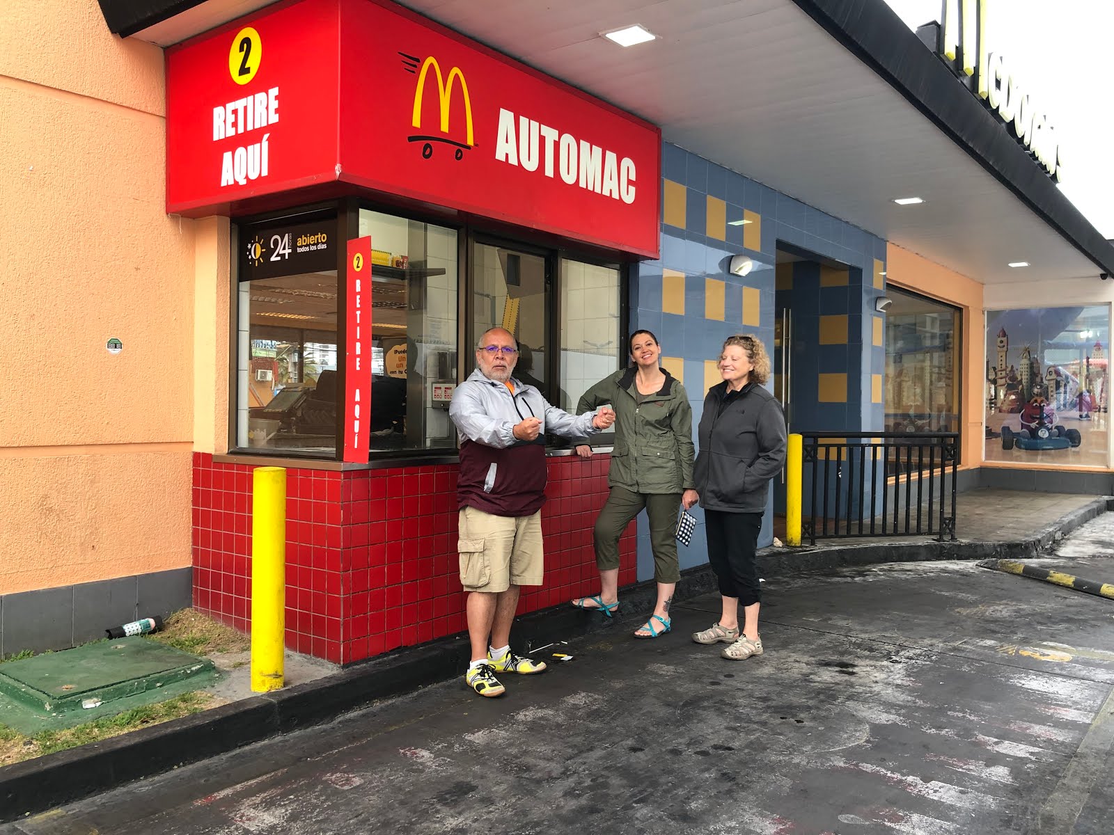
In the meantime, we walked through the Peruvian market for a little shopping, then back to McDonalds for their free wifi (our daily dose!) while we waited for Miriam to get off work. We then met for dinner (at the same outdoor café from the night before) and also met Pamela and Pamela, our hosts. And in a bit of luck, Gayle got her phone back! The driver’s son was a police officer, who did some digging and sent messages to Gayle and several of her Facebook friends. When Mario went to pick it up he offered a reward and he declined because he’s a policeman; when Mario offered it to his dad, he said no because he was doing what he ought to do.
It’s a late night and we have to pack for tomorrow, but at least we found someone with a van who is willing to drive us to Iquique for 150K! So it’s off tomorrow morning!
 |
| Thank you to our host, Pamela! |


 The Valley of the Moon is a dry, arid area outside San Pedro that is noticeably devoid of any flora or fauna. There is a dusting of white over almost everything because of the salt, and a mixture of rocky landscape and large sand dunes.


 The Valley of the Moon is a dry, arid area outside San Pedro that is noticeably devoid of any flora or fauna. There is a dusting of white over almost everything because of the salt, and a mixture of rocky landscape and large sand dunes.


 Another fun day! This morning we went straight to the bus station to see if we could get on the ALMA Observatory tour – we were waitlisted (and Gayle didn’t even get on the wait list, but there was another list – the ‘hope’ list!), so we lined up at 8:45 to see if there was room. There were about 30 of us waiting, including an Israeli family and a group from the US – one who worked in aerospace and one at NASA (but not on the technical side). And luckily, a ton of people didn’t show up and we all made it on!


 Another fun day! This morning we went straight to the bus station to see if we could get on the ALMA Observatory tour – we were waitlisted (and Gayle didn’t even get on the wait list, but there was another list – the ‘hope’ list!), so we lined up at 8:45 to see if there was room. There were about 30 of us waiting, including an Israeli family and a group from the US – one who worked in aerospace and one at NASA (but not on the technical side). And luckily, a ton of people didn’t show up and we all made it on!


